Linex Pty Ltd
Rocks around Bendigo - Castlemaine region
A location map will be added to this page.
Last updated 22/6/03
| Field trip areas: | Harcourt Castlemaine Chewton Castlemaine-Daylesford |
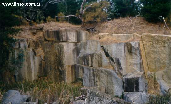
| Mount Alexander, granodiorite quarry | |
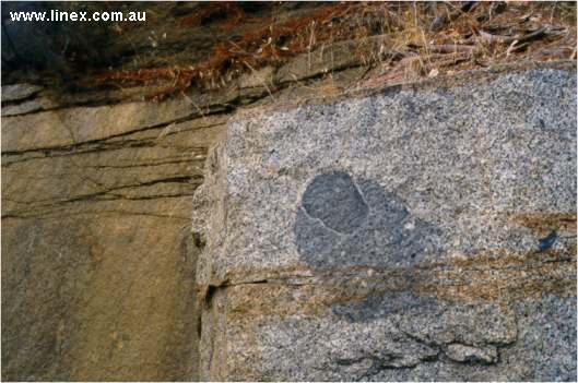
| Mount Alexander, granodiorite quarry. Two types of xenolith (xenolith and autolith) in granodiorite. | |
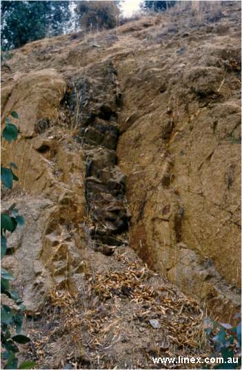
| Calder Highway, Harcourt. Basalt dyke in weathered granodiorite. | |
| Littleton St, Castlemaine. Anticline of radially jointed sanstones. | 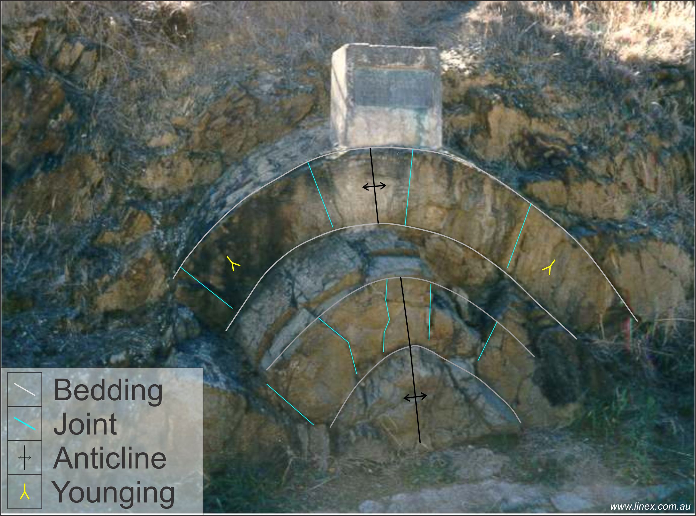 |
| Unconformity between Ordovician turbidites and Tertiary White Hills Gravels. | 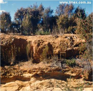 |
| Railway St Chewton. Anticline in shales showing strong, vertical axial planar cleavage. | 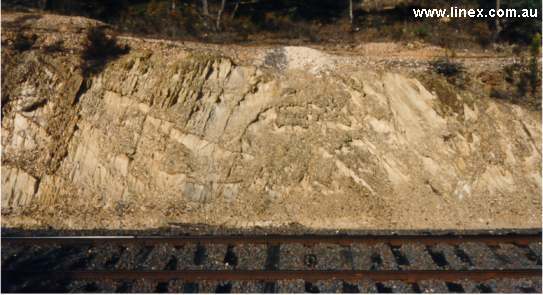 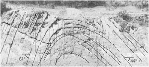 |
| Railway St Chewton. Hinge of steeply plunging syncline. | 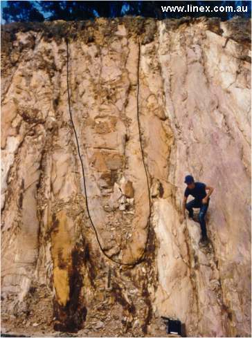 |
| Railway St Chewton. Faulted syncline. | 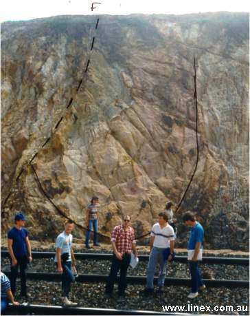 |
| Railway St Chewton. Reverse fault with numerous smaller splay faults | 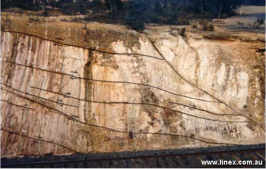 |
| Railway St Chewton. Reverse fault and footwall spurs. A drive from workings on the reef appears halfway up the cutting. | 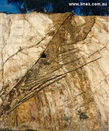 |
| Guildford plateau during summer. Flat basalt
plateau, flow from bear Daylesford down the ancient Loddon River. Mt Alexander
(granodiorite) in the background. White mine dumps are gravels from the "deep
leads" - gravel that was buried by the basalt flow
|
 |
| Guildford plateau, spring. The incised basalt to the left of the telephone pole is eroded by Campbell's Creek that flows from Castlemaine | 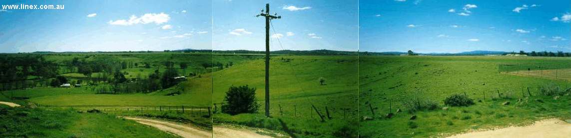 |
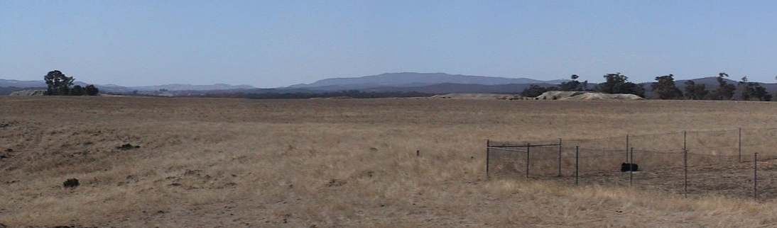
| The locality of "Basalt" - a place where there is no basalt, only Ordovician turbidites. | 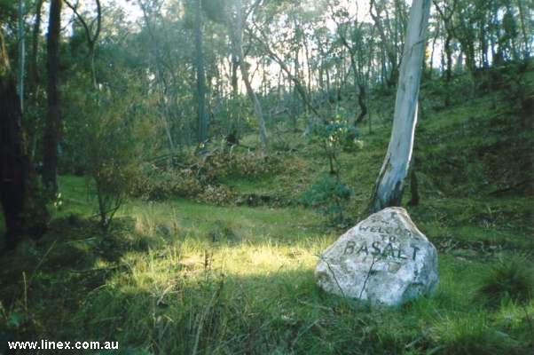 |
| Mt Franklin, Quaternary cinder cone. |  |
| 180 degree view inside the Mt Franklin crater | 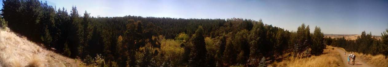 |
| Inside the Mt Franklin crater, looking south towards the breached rim where basalt has flowed as one of the last eruptive events - allowing road access. | 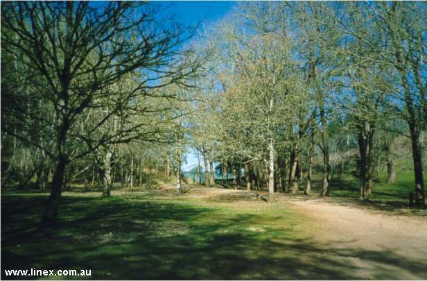 |
| Rich basaltic soil on the flanks of Mt Franklin | 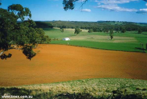 |
| View west from Mt Franklin showing several scoria cones in the distance (cleared hills) and Ordovician turbidites in the middle part of the image (uncleared land) |  |
|
Page
created 19/06/03 |